


- 128 -
Using the GPS function to record the location of a
picture
GPS and map functions
Before using the GPS function, read “About GPS” (→8) and “Licence Agreement for
Place Name and Map Data” (→190).
GPS stands for Global Positioning System. You can check your current location using
GPS satellites. The camera receives radio signals that contain orbital information and
time information from multiple GPS satellites, and uses them to calculate its current
position. Calculating a position in this manner is known as “positioning”.
This camera can record the location information of a place where a picture was taken on
the pictures.
The camera can also automatically adjust the time or display a place where a picture was
taken on a map during playback.
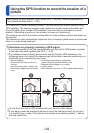
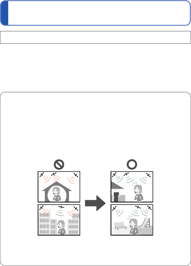
Precautions on properly receiving a GPS signal
●
It is recommended to hold the camera steady with the built-in GPS antenna pointed
at the open sky while updating the GPS. (→129)
●
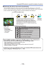
The camera cannot properly receive radio signals from the GPS satellites in the
following places. As a result, the camera may not be able to execute positioning or a
significant error in positioning may occur.
• Inside buildings
• Surrounded by trees, such as in
a forest
• Inside a moving train, vehicle, etc.
• Near high-voltage electrical power
lines
• In building basements or underwater
(when using the optional marine case)
• Between tall buildings or in a valley
• Inside tunnels
• Near devices such as a 1.5 GHz band mobile phone
●
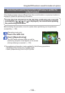
Do not block the built-in GPS antenna with your hand or other objects.
●
If you want to execute positioning while you carry the camera around, do not put it
in a metallic bag or case. If the camera is enclosed in something metallic, it cannot
execute positioning.