


121
Using the BCD996T with a GPS
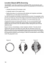
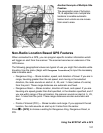
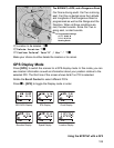
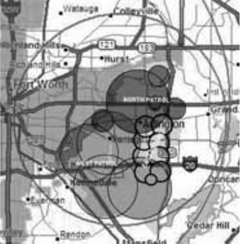
Another Example of Multiple Site
Creation
The geographic area of Arlington,
TX, is separated into multiple site
locations to enable automatic
lockout and unlock as one moves
from area to area.
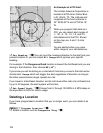
Non-Radio Location Based GPS Features
When connected to a GPS, you can program specific location information which
will trigger an alert from the scanner. The scanner becomes an extension of the
GPS device.
The following geographical values are typical of use you might find valuable while
traveling. Use the menu (begin with Program Location) to input the necessary
data to enable each.
• Dangerous Xing — Stores location, speed, and direction of travel. If you are in
range, traveling greater than the set speed, and moving in the selected
direction, the radio sounds an alert at .5, .25, and .1 miles (radius of a circle)
from the point. These range distances are automatic and fixed.
• Dangerous Road — Stores location, direction of travel, and speed. If you are
traveling at a speed greater than that specified, in the direction specified, and if
you are within range of the set location, the scanner sounds an alert at .5, .25,
and .1 miles from the point. These range distances are also automatic and
fixed.
• Points of Interest (POI) — Stores location and range. If you approach the set
location, the radio sounds an alert up to 2 miles from the center.
Press
F + [GPS] to choose a setting for Dangerous Xing, Dangerous Road, or
POI.