


Displaying the Bluetooth
connection icon
Selects whether to display or hide the icon for
current status of the phone connection via
Bluetooth wireless technology.
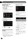
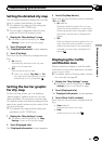
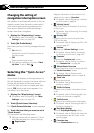
1 Display the “Map Settings” screen.
= For details, refer to Displaying the “Map
Settings” screen on page 154.
2 Touch [Displayed Info].
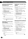
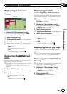
The “Displayed Information” screen appears.
3 Touch [Bluetooth Connected].
Each time you touch the key changes that set-
ting.
! View (default):
Displays the Bluetooth connection icon on
the map.
! Hide:
Hides the Bluetooth connection icon on the
map.
= For details about the Bluetooth connection
icon, refer to Bluetooth connection icon
on page 26.
Setting the current street
name display
Selects whether to display or hide the street
name (or city name) that your vehicle is travel-
ing along.
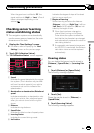
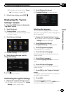
1 Display the “Map Settings” screen.
= For details, refer to Displaying the “Map
Settings” screen on page 154.
2 Touch [Displayed Info].
The “Displayed Information” screen appears.
3 Touch [Current Street Name].
Each time you touch the key changes that set-
ting.
! View (default):
Displays the street name (or city name) on
the map.
! Hide:
Hides the street name (or city name) on the
map.
Setting the “Favorites” icon
display
You can select whether to display the “Favor-
ites” icon on the map.
p Favorites icons are displayed when the
map scale is 10 mile (20 kilometers) or less.
= For details, refer to Editing the entry in the
“Favorites” list on page 46.
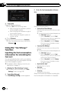
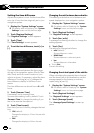
1 Display the “Map Settings” screen.
= For details, refer to Displaying the “Map
Settings” screen on page 154.
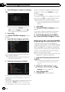
2 Touch [Displayed Info].
The “Displayed Information” screen appears.
3 Touch [Favorites Icon].
Each time you touch the key changes that set-
ting.
! On (default):
Displays the “Favorites” icon on the map.
! Off:
Hides the “Favorites” icon on the map.
Displaying the 3D landmarks
You can select whether to display the 3D land-
mark on the map.
p The 3D landmarks and this setting are
available for AVIC-Z120BTonly.
p 3D landmark only appears when the view
mode is “3D View” and the map scale is
set to 0.25mile (200m) or lower.
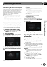
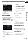
1 Display the “Map Settings” screen.
= For details, refer to Displaying the “Map
Settings” screen on page 154.
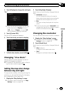
2 Touch [Displayed Info].
The “Displayed Information” screen appears.
3 Touch [3D Land Mark].
Each time you touch the key changes that set-
ting.
! On (default):
Displays the 3D landmark on the map.
! Off:
Hides the 3D landmark on the map.
En
156
Chapter
31
Customizing preferences